Sediment

SEDIMENT VIDEOS
 What is TSS (Total Suspended Solids)? (00:53)
 Why is TSS (Total Suspended Solids) a water quality concern? (01:10)
 Why are elevated sediment levels a problem in the Minnesota River Basin? (01:12)
 What are the major sources of sediment in the Minnesota River Basin? (03:17)
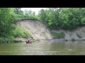
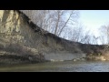 What role do bluffs and banks play in sediment delivery to the Minnesota River? (01:46)
 What can be done to reduce sediment levels in the Minnesota River Basin? (02:34)
 What is a sediment core? (01:55)
 How do you analyse sediment core to learn about landscape history? (02:50)
 Have the typical erosion processes changed in the Minnesota River Basin? (02:55)
 What is one fascinating thing you learned with the coring project? (01:33)
MEET THE EXPERTS
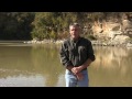
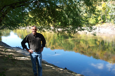 Pat Baskfield - Hydrologist, Minnesota Pollution Control Agency
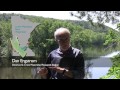
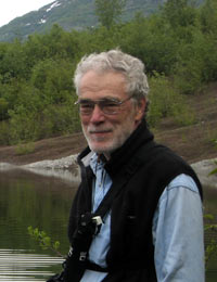 Dr. Dan Engstrom - Director, St. Croix Watershed Research Station
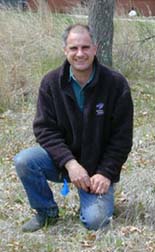 Dr. Shawn Schottler - Senior Scientist, St. Croix Watershed Research Station

FACT SHEETS
Sediment Overview (pdf)
FEATURES & MEDIA
Slideshow
MEET THE EXPERTS
Pat Baskfield - Hydrologist, MPCA
Dr. Dan Engstrom - Director, St. Croix Watershed Research Station
Dr. Shawn Schottler - Senior Scientist, St. Croix Watershed Research Station
RESOURCES
Synthesis Report: Identifying sediment sources in the Minnesota River Basin (MPCA pdf)
Identifying Sediment Sources in the Minnesota River Basin (MPCA pdf)
Minnesota River - Turbidity TMDL Project (MPCA web link)
Presentation on Sediments affect on fish and macroinvertebrates in the Minnesota River (MPCA presentation)
State of the Minnesota River: Surface Water Quality Monitoring Report