The Minnesota River Basin covers 15,000 square miles in south-central Minnesota. It contains portions or all of 38 counties (map) and is divided into 13 major watersheds (map).
The Minnesota River Basin Data Center website contains information about the basin, major watersheds, and minor watersheds. The site offers mapping resources (GIS), reports, a searchable water quality database, virtual tours, among other information about the basin.

The Minnesota River Basin drains nearly 20 percent of Minnesota as well as portions of South Dakota, Iowa and North Dakota.
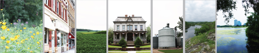
Agricultural activities account for more than 92 percent of the land use in the basin. The river flows through some of the richest agricultural land in the state.

The Minnesota River flows 335 miles from its source in Big Stone Lake on the Minnesota/South Dakota border to its confluence with the Mississippi at Fort Snelling near St. Paul (see Minnesota River Virtual Tour).
The Minnesota River is the state's largest tributary to the Mississippi River. Where the Minnesota River flows into the Mississippi River, the flow of the Mississippi doubles.
The Minnesota River is one of the most seriously polluted rivers in the state. Some environmental groups have labeled the Minnesota River one of the most polluted rivers in the nation (see Water Quality Overview). Many diverse groups are working across the basin to better understand and improve the Minnesota River.

-Counties
-Major Watersheds
-Major Tributaries
-Drainage Network

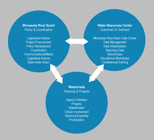
View this chart to see how we work with our partners.
|