TILE REINVENTORY
Blue Earth (CD5) | Blue Earth (Beauford) | Cottonwood (Mountain Lake) | Redwood (CD33) | Kandiyohi (CD18)
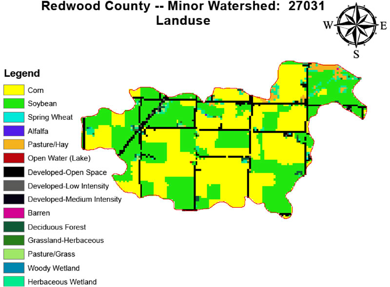
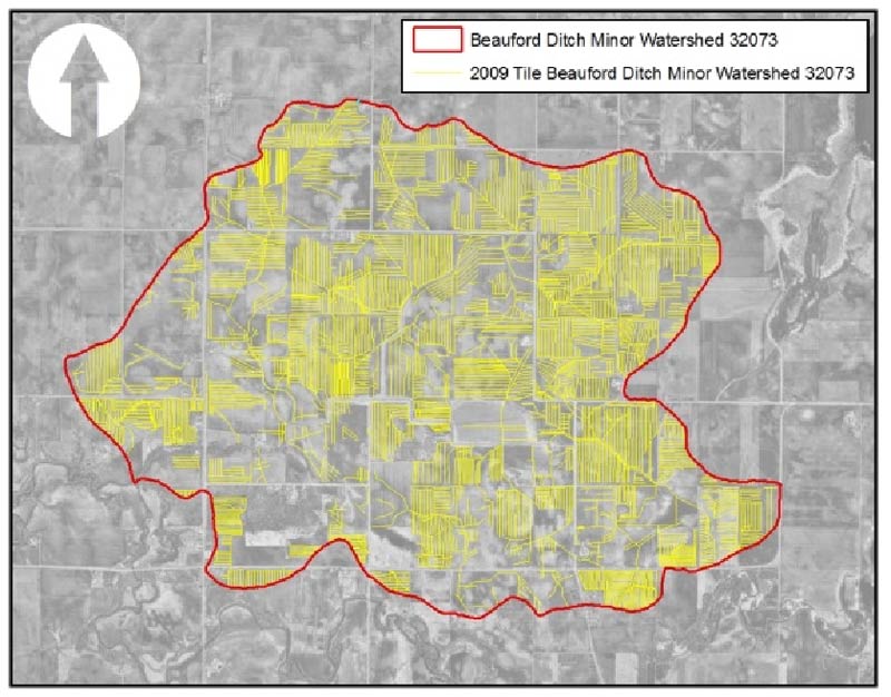
Tile Reinventory: Beauford Ditch,
Blue Earth County

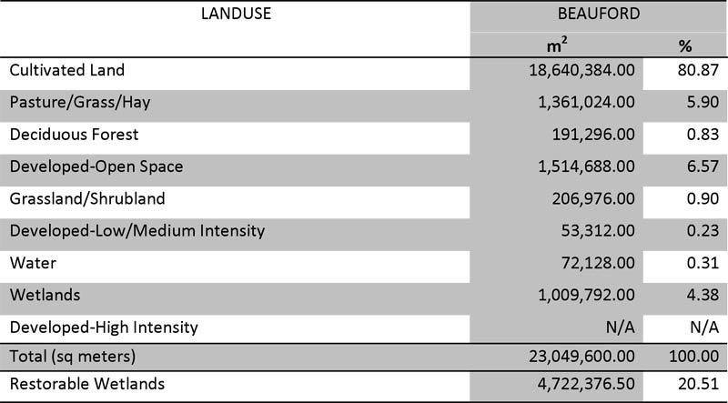
Beauford Ditch Minor Watershed 32073 Blue Earth County
Square Meters: 23,030,049.70
Square Kilometers: 23.03
Square Feet: 247,893,391.48
Square Miles: 8.89
Acres: 5,690.85

1991 Tile Inventory
2010 Tile Inventory
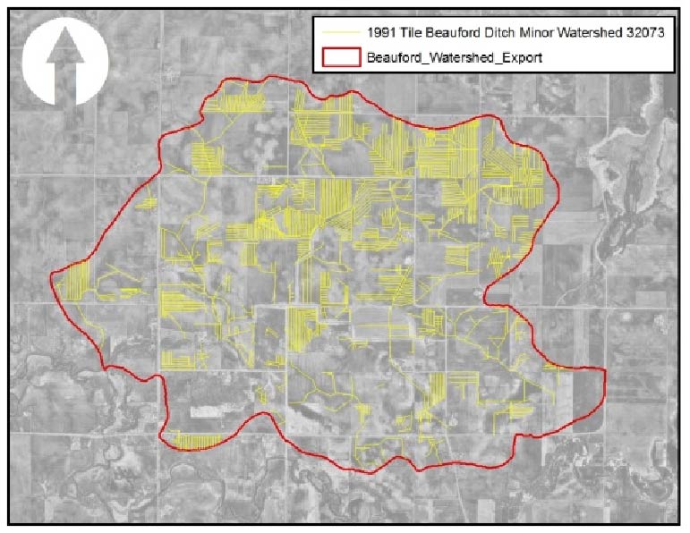
Meters 255,189.96
Kilometers 255.19
Linear Feet 837,237.40
Miles 158.57
Meters 538,602.37
Kilometers 538.60
Linear Feet 1,767,068.14
Miles 334.67
How much is 158.57 miles of tile line? Approximately equivalent to the distance from Mankato to the southern shore of Mille Lacs Lake via route 169!
How much is 334.67 miles of tile line? Approximately equivalent to the distance from Mankato to the Illinois/Wisconsin border near Rockford, Illinois!
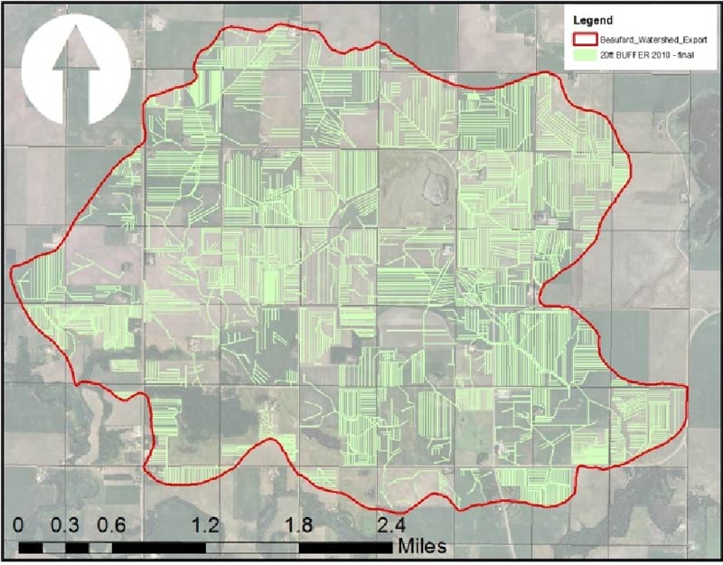
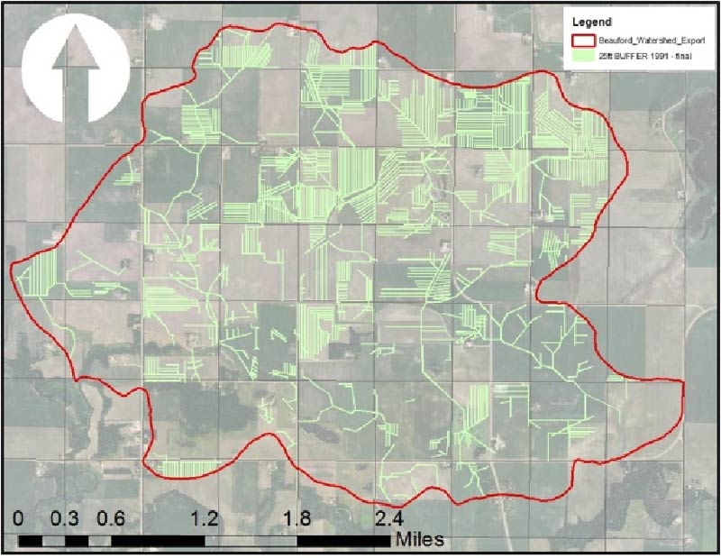

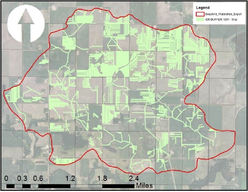


Buffer Table 1991 vs 2010
How much and what percentage of land is within 20, 25, 40, 50, and 60 feet of existing tile lines?