Minnesota River - Historic Flood Photos
|
Minnesota River Floods at Mankato
Images from a few of the many Mankato area floods over the years. |
|
|
1881 Flood Largest on record. |
 Click to enlarge |
|
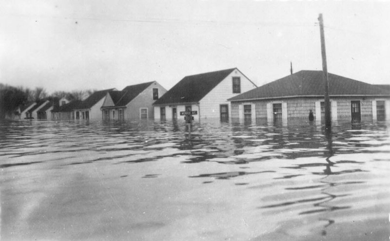
1908 Flood
Range Street, North Mankato |
 Click to enlarge |
|
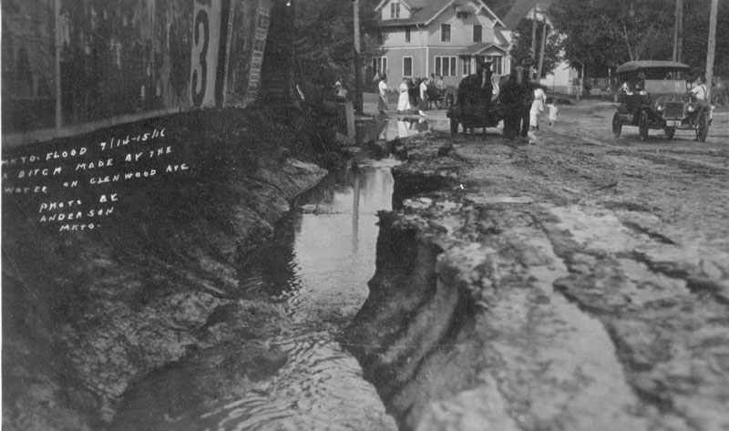
1916 Flood Glenwood Avenue, Mankato A ditch made by flood waters. |
 Click to enlarge |
|
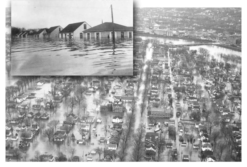
1951 Flood
North Mankato aerial photo. |
 Click to enlarge |
|
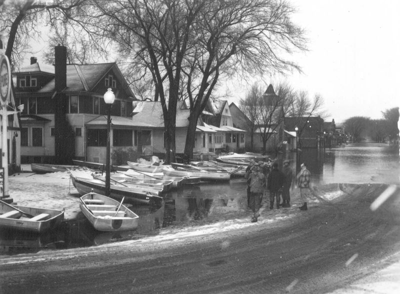
1951 Flood Belgrade Avenue, North Mankato Boats in foreground. |
 Click to enlarge |
|
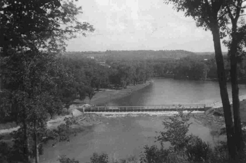
1951 Flood
Aerial photo with bridge. |
 Click to enlarge |
|
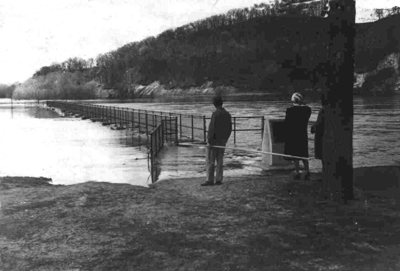
1951 Flood
People standing at bridge. |
 Click to enlarge |
|
1951 Flood All of North Mankato is evacuated and under water. |
 Click to enlarge |
|
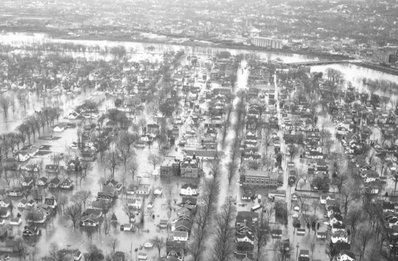
1951 Flood North Mankato aerial photo. Tree-lined street is Belgrade Avenue. |
 Click to enlarge |
|
1951 Flood Center & Monroe, North Mankato Residential area. |
 Click to enlarge |
|
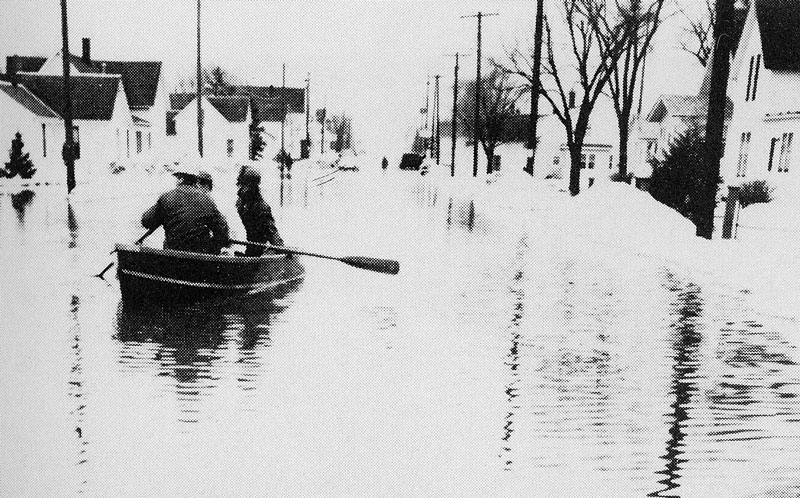
1951 Flood
Rowing home, North Mankato. |
 Click to enlarge |
|
1965 Flood Aerial photo. |
 Click to enlarge |
|
1965 Flood View inside the store, Madsen's Value Center. |
 Click to enlarge |
|
1965 Flood Range Street & Webster Avenue, North Mankato Sandbags. |
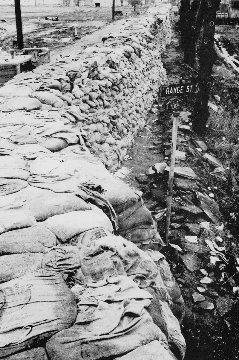 Click to enlarge |
|
1965 Flood Sandbagging Webster Aveue, North Mankato |
 Click to enlarge |
|
Photos courtesy of Blue Earth County Historical Society, the Minnesota Historical Society, and the Mankato Free Press. For more information about the floods visit the Dakota Meadows Middle School web site: 1951 Flood and 1965 Flood |