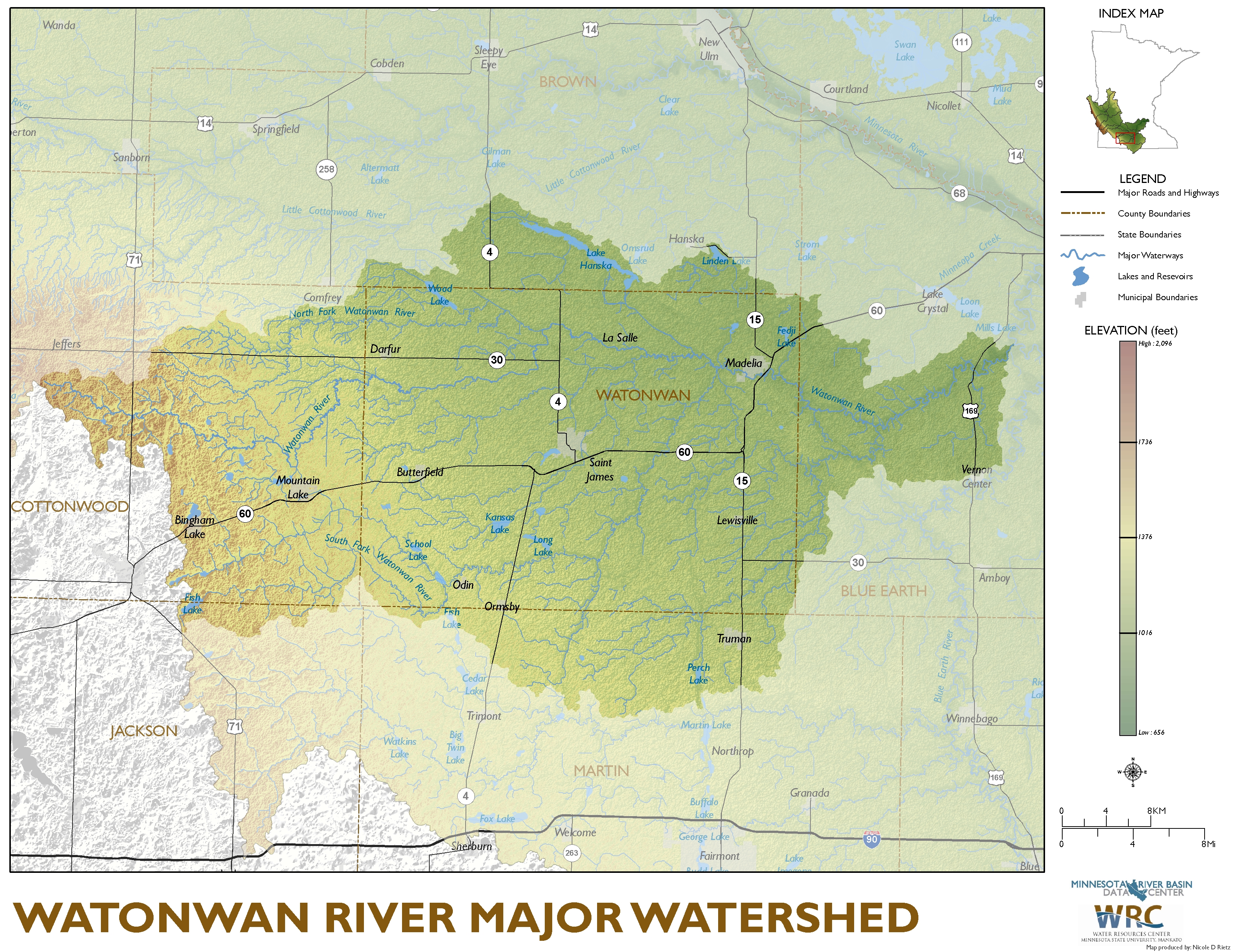
Watonwan River Major Watershed

General Description
Related Data Resources |
The summary tables of watershed data are generated from the Minnesota River Basin Data Center (MRBDC) GIS data. Individual table files for downloading are found following each summary table. All data are compressed to decrease download time. Watershed management groups, projects and other related data are described with links provided to detailed information. GIS data for the watershed may be accessed by using the link found under Related Data Resources or by going to the GIS section on the MRBDC home page. Publications and maps available for downloading and printing are in Adobe Portable Document Format (pdf). Adobe Acrobat Reader may be downloaded free from www.adobe.com. Please contact the MRBDC staff if you have questions or updated information about data at this site.
