MRBDC Lower Minnesota Major Watershed General Description
General Description
The Lower Minnesota River Major Watershed is one of the twelve major watersheds of the Minnesota River Basin. It is located in south and east central Minnesota within Carver, Dakota, Hennepin, Le Sueur, McLeod, Nicollet, Ramsey, Renville, Rice, Scott, and Sibley counties. There are 51 municipalities in the watershed of which the city of Minneapolis is the largest. The Lower Minnesota River major watershed area is approximately 1,821 square miles or 1,165,229 acres. The watershed is subdivided into 143 minor watersheds. The minor watersheds range in size from 184 acres to 41,215 acres with the mean size approximately 8,148 acres.
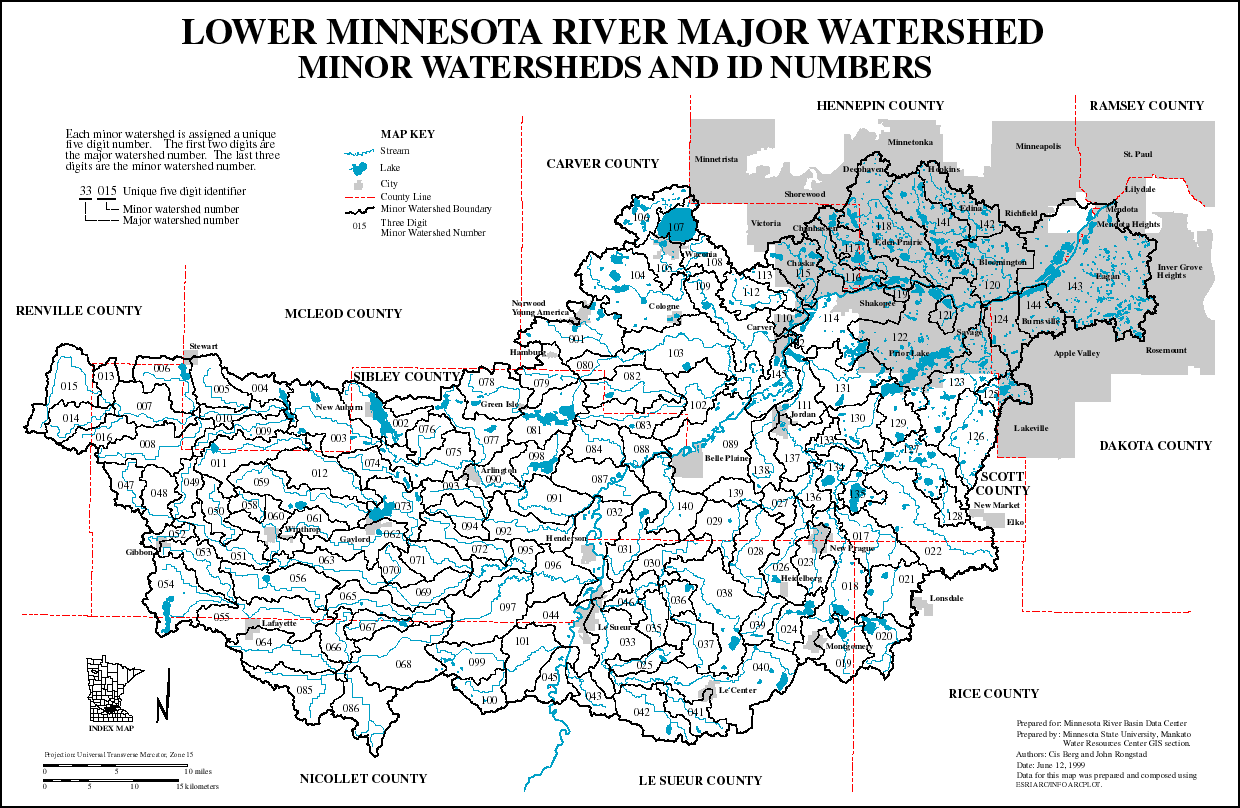
Map of Major Watershed 33
View, print or save PDF file of the Lower Minnesota River Major Watershed (575 K)
| Page Index | Next Page |
Return to