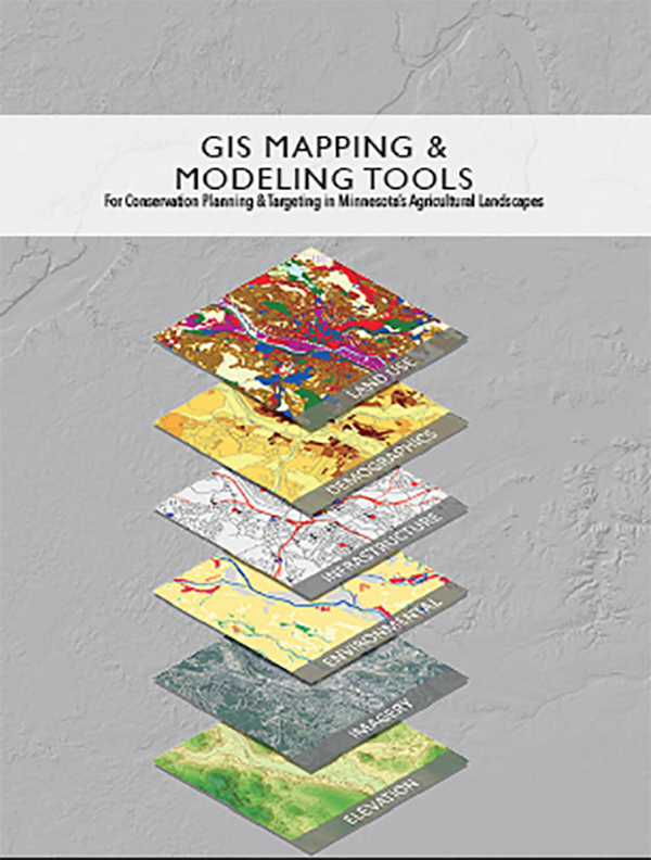
GIS Mapping and Modeling Tools Inventory
GIS Mapping and Modeling Tools for Conservation Planning and Targeting in Minnesota's Agricultural Landscapes
Abstract
This document provides an inventory of watershed planning GIS mapping and modeling tools for use in conservation planning and targeting in predominantly agricultural areas of Minnesota. Interviews and workshops with Minnesota conservation staff revealed interest in better understanding the available array of diverse modeling tools, frameworks, and calculators. This document is intended to be used as a reference for local, state and federal conservation staff involved in watershed research, planning and implementation. This inventory of tools was informed by discussions with diverse tool users from across the state. The group helped with selection considerations, but it is important to note that the inventory is not exhaustive.
Download Report
PDF: https://drive.google.com/file/d/11oS-5pkRFOKEZWEVSqZTNpQesixB8m2i/view?usp=sharing

