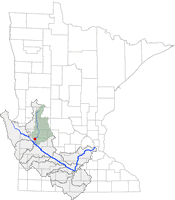
| CHIPPEWA
RIVER NEAR MILAN |
|
|
|
|
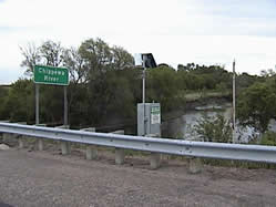
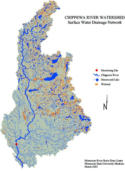
The Chippewa River Site
at Hwy 40 Bridge near Milan, Minnesota, is located in SE¼, SE¼,
Sec.16, T.119 N., R.41 W., Chippewa County. The site is on the right bank,
20 ft. downstream from State Highway 40 bridge, 2.0 miles upstream from
small tributary, and 5.5 miles east of Milan.
Hydrologic Unit Code 07020005
Latitude 45°06'39", Longitude 95°47'57" NAD27
Drainage area 1,880.00 square miles
Gage datum 959.69 feet above sea level NGVD29
(USGS)
|
|
| MONITORING
ORGANIZATIONS
|
U.S.Geological Survey
(USGS)
Army Corps of Engineers
(USACE)
Chippewa River
Watershed Project
(CRWP)
Watershed Contacts |
USGS Site-ID:
05304500
USGS web ->
CRWP Site-ID: #18
2001 Summary
|
|
| DATA
SOURCES |
|
REAL TIME DATA |
|
|
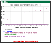
USGS Gage Height, Discharge, Precipitation
USGS web->
|
|
| |
| SURFACE
WATER FLOW |
|
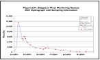
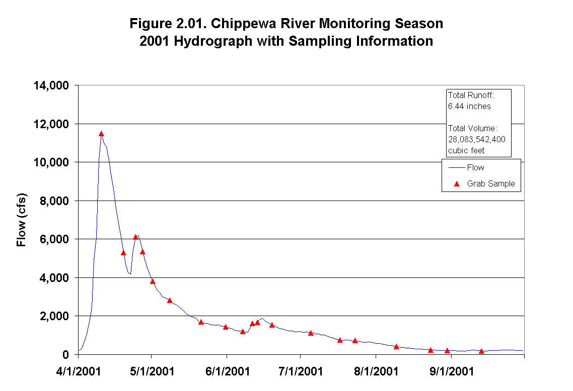
CRWP
2001 Hydrograph
|
USGS Stream Flow Recent, Historic,
Statistics (1937 - 2002)
USGS web
->
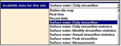
Recent Daily
Daily Streamflow
Daily Streamflow Statistics
Monthly Streamflow Statistics
Annual Streamflow Statisitcs
Peak Streamflow
Measurement
|
| CRWP
Stream Flow Data |
| |
2001
2002
2003 |
| |
| SURFACE
WATER QUALITY |
|
State of the Minnesota River
Summary of Surface Water Quality
Monitoring 2001 Report |
USGS
Samples (1901 - 1981)
USGS web->
CRWP Samples (1998 - 2002) 1998
1999 2000
2001 2002
2003 |
| |
| WATERSHED
AREA |
|
Upstream from monitoring site = 1,877 square miles or 1,201,480
acres*
Upstream from outlet = 2,084 square miles or 1,333,541
acres*
(confluence of the Chippewa River with the Minnesota
River at Montevideo)
*Area calcuated using MRBDC GIS
|
| WATERSHED
INFORMATION |
|
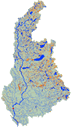
MRBDC GIS | Watershed
| Projects | Contacts
EPA Surf
Your Watershed
MPCA Chippewa
Watershed Information |
|
|
|
|
Data sources: State of the Minnesota River2001 report, Chippewa River
Watershed Project, U.S. Geological Survey, Minnesota River Basin Data
Center.
|
|
|
| mrbdc
home | monitoring map
Page
created April 13, 2003. Last updated on
April 1, 2004
.
Minnesota River Basin Data Center
Minnesota State University, Mankato
184 Trafton Science Center S, Mankato, MN 56001
Phone: (507)389-5492 FAX: (507)389-5493
mrbdc@mnsu.edu
|
|
|
|
|
|
|
|
|
|
|
|
|
|