TILE REINVENTORY
Blue Earth (CD5) | Blue Earth (Beauford) | Cottonwood (Mountain Lake) | Redwood (CD33) | Kandiyohi (CD18)
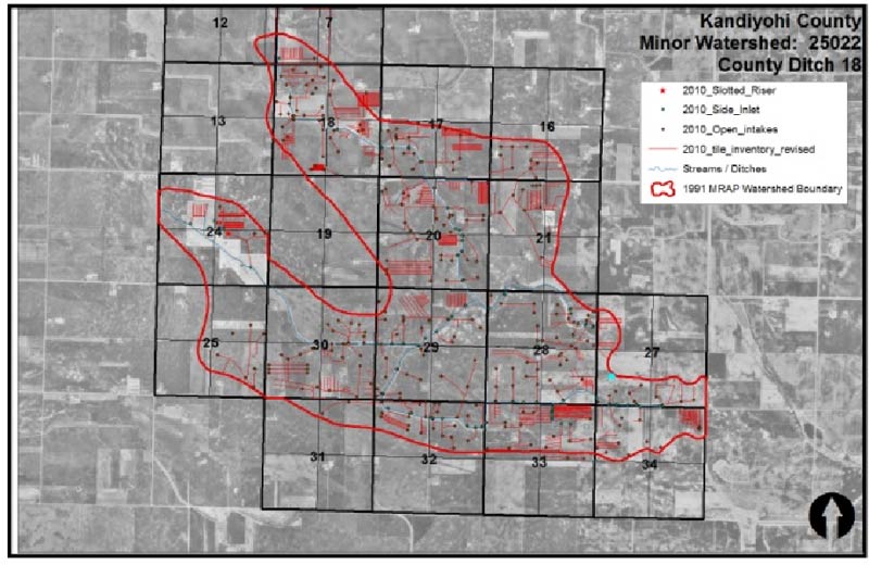
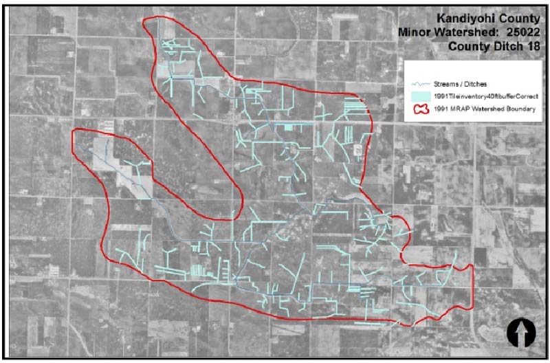
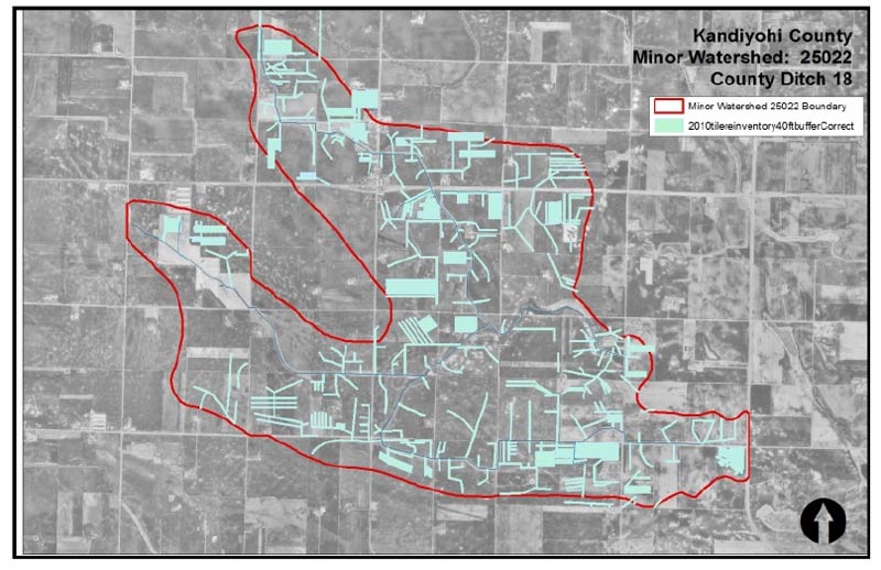
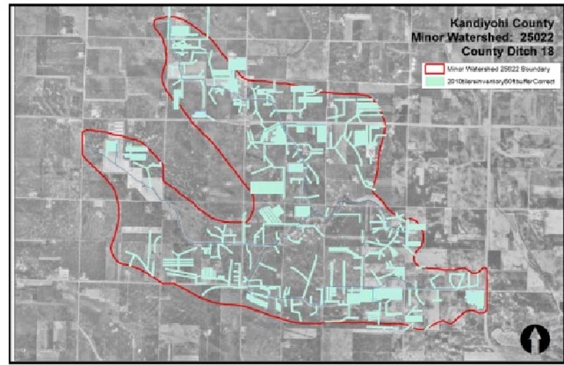
Tile Reinventory: Kandyiohi Minor Watershed
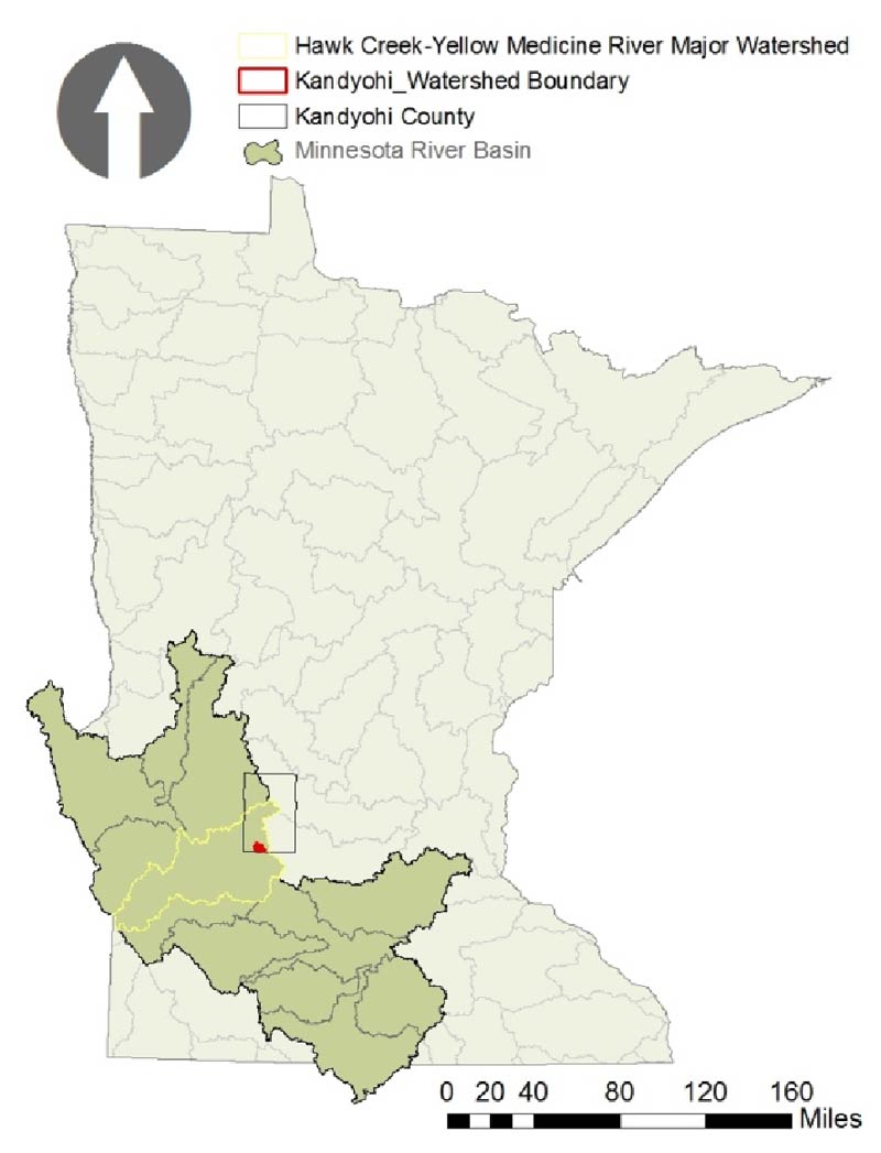
Kandyiohi Minor Watershed 25022 (CD 18)
Square Meters: 21,454,950.66
Square Kilometers: 21.45
Square Feet: 230,939,166.52
Square Miles: 8.28
Acres: 5,301.63

1991 Tile Inventory
2010 Tile Inventory
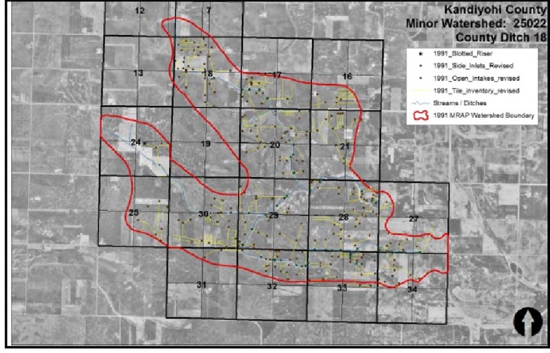
Meters 66,985.61
Kilometers 66.99
Linear Feet 219,767.06
Miles 41.62
Meters 157,283.19
Kilometers 157.28
Linear Feet 516,010.50
Miles 97.73
How much is 41.62 miles of tile line? Slightly more than the distance from Mankato to Belle Plaine via route 169!
How much is 97.73 miles of tile line? Equivalent to the distance from Mankato to Minneapolis!
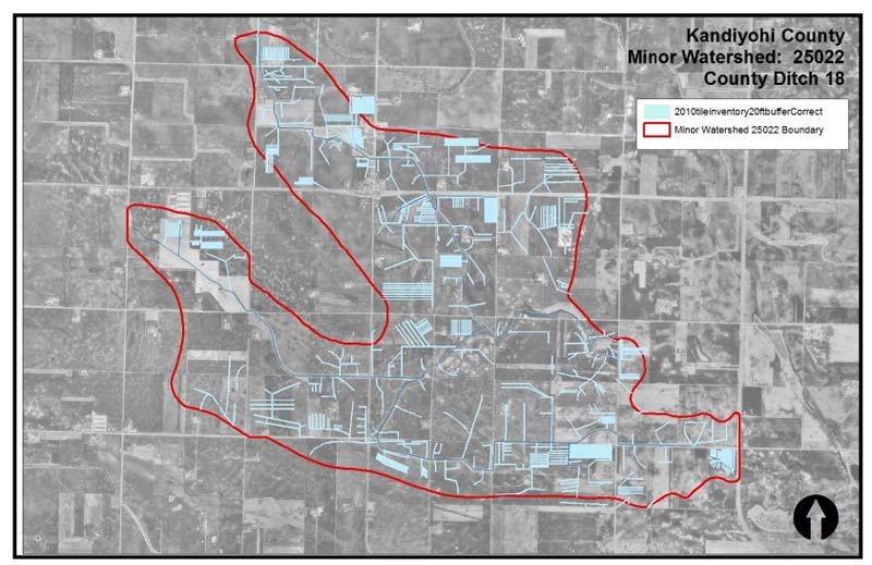

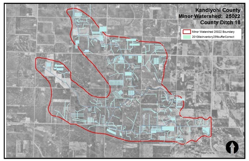
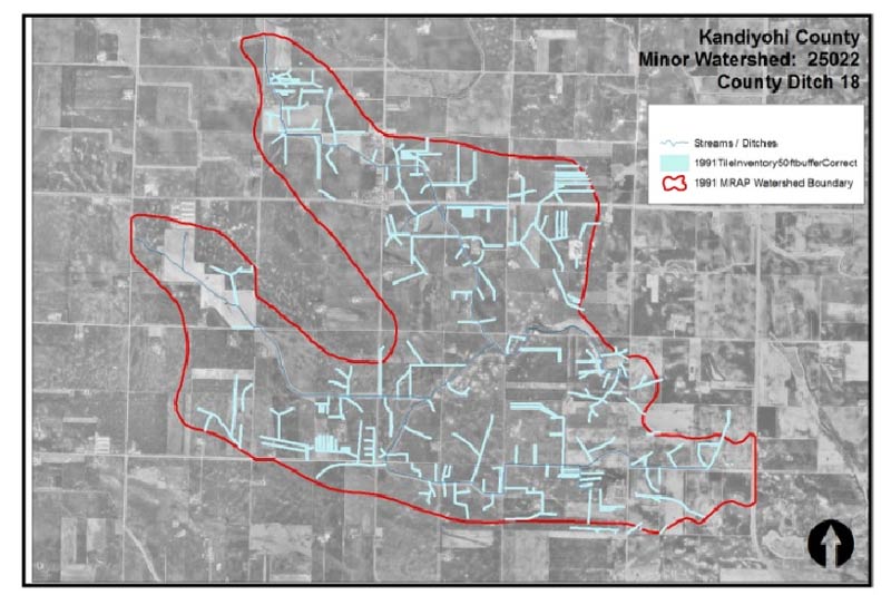
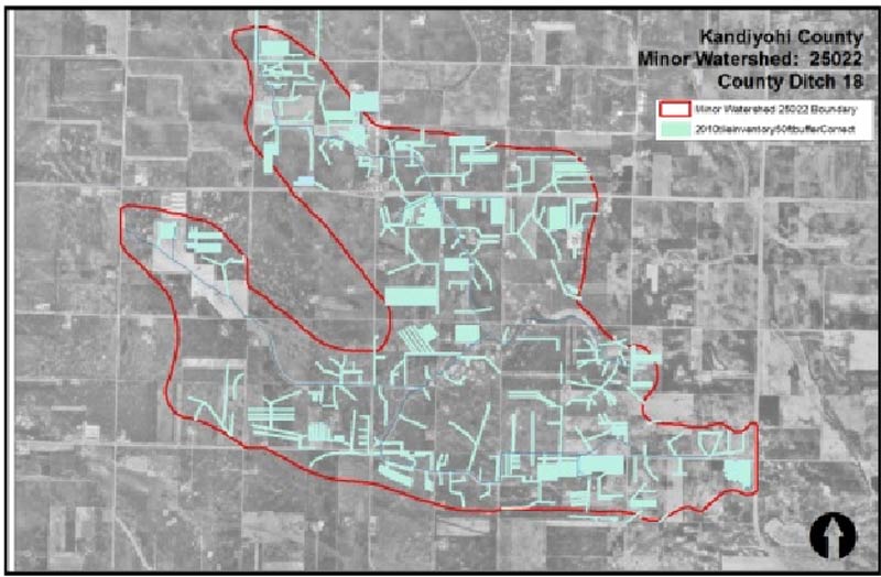

Buffer Table 1991 vs 2010
How much and what percentage of land is within 20, 25, 40, 50, and 60 feet of existing tile lines?
