

Settlers moved into the area to farm the rich prairie soils. They modified the landscape to make it more suitable for farming by clearing the prairie and draining the wetlands (historical distribution of wetlands) Public funds were available for drainage projects to attract new settlers and help already established farmers.
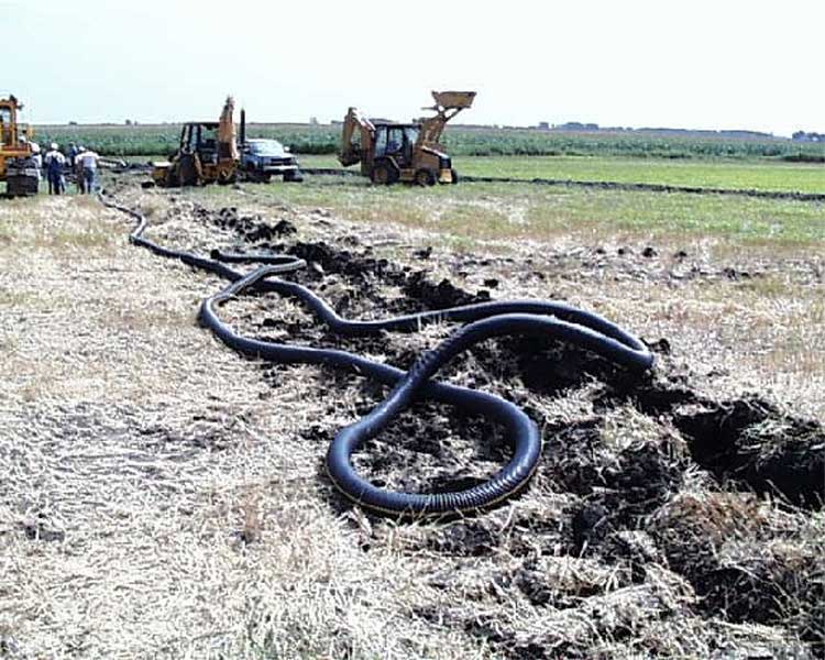
Today, the 36.8 square mile watershed has more than 24 miles of open ditches and over 600 miles of public and private drain tile. An extensive network of underground tiles and open drainage ditches were constructed to move excess water away from the fields (natural versus altered drainage map). Next

Find out the
history of wetlands in
the Seven Miile Creek
Watershed

Turn
of the century photo showing a
trench crew installing
hand-dug clay tile.
trench crew installing
hand-dug clay tile.
Installing
modern day plastic tile.
Hundreds of miles of subsurface tile
drain the watershed.
Hundreds of miles of subsurface tile
drain the watershed.
BNC home | mrbdc home | web site map |