

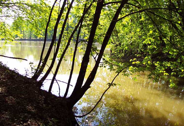
The
photo above shows the eastern portion of Seven Mile Creek Park where you
can see where Seven Mile Creek (right) flows into the Minnesota River
(left). If you enlarge the photo, you can actually see the sediment in
the water carried down Seven Mile Creek into the Minnesota River. (The
photo was taken after a rain).
Although our tour of Seven Mile Creek Watershed ends here, the water continues
to flow down the Minnesota River, joins the Mississippi River near St.
Paul, and ultimately drains into the Gulf of Mexico (maps).
We hope you enjoyed the tour and can get involved or set out to explore
this scenic watershed on your own.
Many organizations and individuals are working across the watershed to
protect and enhance Seven Mile Creek. There are many things that can be
done. If you would like to learn more or get involved, contact Brown Nicollet
Cottonwood Project Coordinator Kevin Kuehner at 507-934-4140 or via e-mail
at <kuehnbnc@hickorytech.net>.
Want to learn more about projects in the Seven Mile Creek Watershed? Visit
the Brown Nicollet Cottonwood
Water Quality Board website.
Want to learn more about the Minnesota River Basin?
Visit the Minnesota River Basin Data Center
website.
Virtual Tour Credits.
towards the Minnesota River
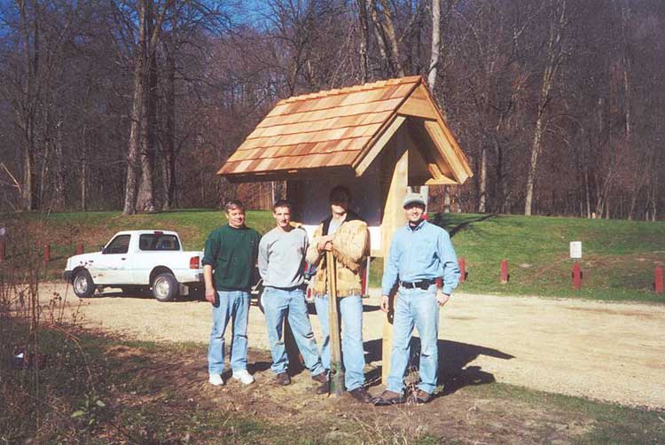
stand near the kiosk that he contructed
for the watershed project and park
BNC home | mrbdc home | web site map |