
![]()
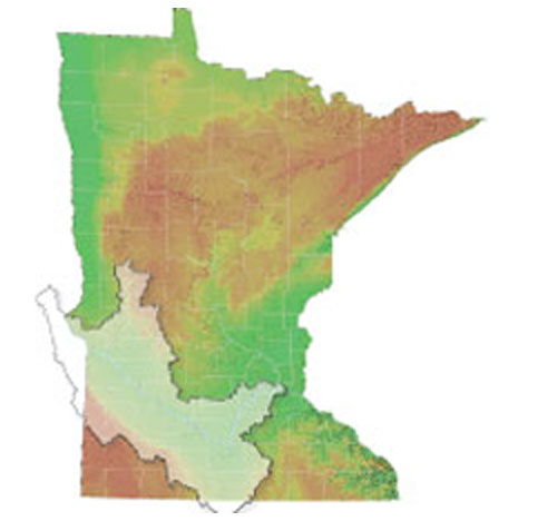
Minnesota River Basin
The Minnesota River Basin drains nearly 20 percent of Minnesota as well as portions of South Dakota, Iowa and North Dakota. The Minnesota River Basin encompasses roughly 15,000 square miles and contains all or parts of 38 counties in Minnesota.
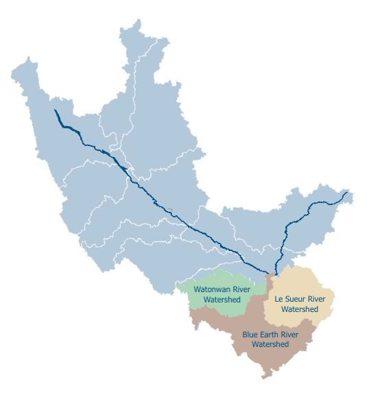
Blue Earth River Basin
The Blue Earth River Basin is a large basin within the Minnesota River Basin. The Le Sueur and Watonwan Rivers flow into the Blue Earth River upstream of its confluence with the Minnesota River at Mankato. The Blue Earth River Basin consists of three major watersheds:
__Watonwan River
__Blue Earth
__Le Sueur River

The Blue Earth River Basin covers approximately 3,540 square miles (2.26 million acres). The Basin contains 3,364 miles of streams and rivers, and 3,374 miles of public drainage.

The Blue Earth River Basin includes parts of 11 South Central Minnesota counties and three Iowa counties.
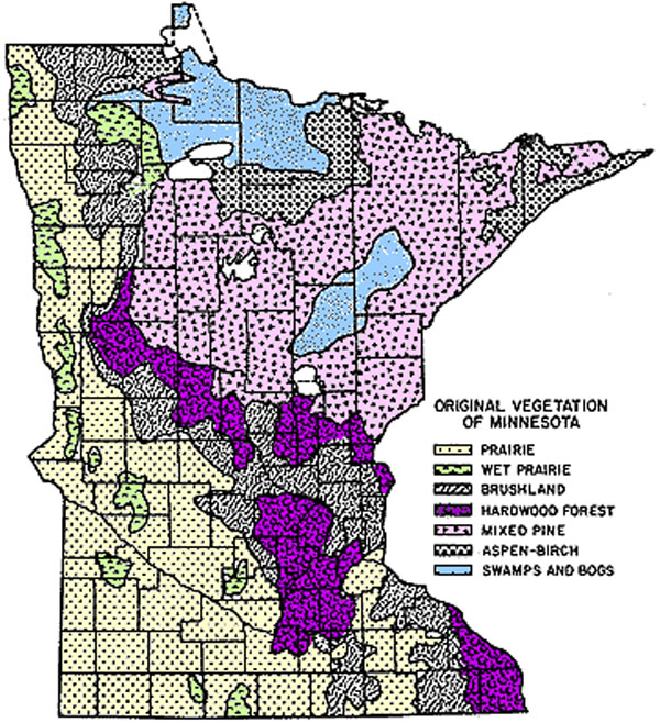
Pre-Settlement Vegetation
Pre-settlement vegetation was primarily tall grass prairie and wet prairie with hardwoods (the Big Woods) in the eastern part of the Basin. The Basin is a mixture of glacial lake plains, moraines, and till plains. Some stream banks have steep slopes and are often cut by the fast flowing rivers.

Today approximately eighty percent (80%) of the Basin is used for agriculture, dominated by corn and soybean production. Feedlots are common. A large percentage of hogs and cattle in the state of Minnesota are raised within the southeastern part of the Minnesota River Basin.
Blue Earth River Basin Fecal Coliform TMDL | mrbdc home
Minnesota River Basin Data Center | Minnesota State University, Mankato
184 Trafton Science Center S, Mankato, MN 56001 | Phone: (507)389-5492 | FAX: (507)389-5493