Historic Images - Seth Eastman
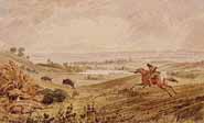
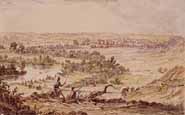
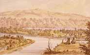
Seth Eastman's paintings provide a glimpse of the Minnesota River Basin in the early 1800s. Eastman explored the valleys and woodlands near Fort Snelling where he lived and visited from 1830 to 1857. He recorded his observations and understanding of the landscapes and the Dakota and Ojibwe people who had been living in the area for many generations. His paintings provide insight into what the landscape looked like as well as the everyday life of Dakota men and women.

Fishing
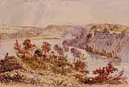
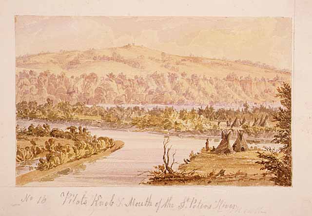
Pilot's Knob
Fort Snelling

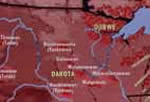
1830 Map of Native Americans in the Minnesota River Valley
Map courtesy of Afton Historical Press
Marybeth Lorbiecki's Painting the Dakota: Seth Eastman at Fort Snelling
Map courtesy of Afton Historical Press
Marybeth Lorbiecki's Painting the Dakota: Seth Eastman at Fort Snelling
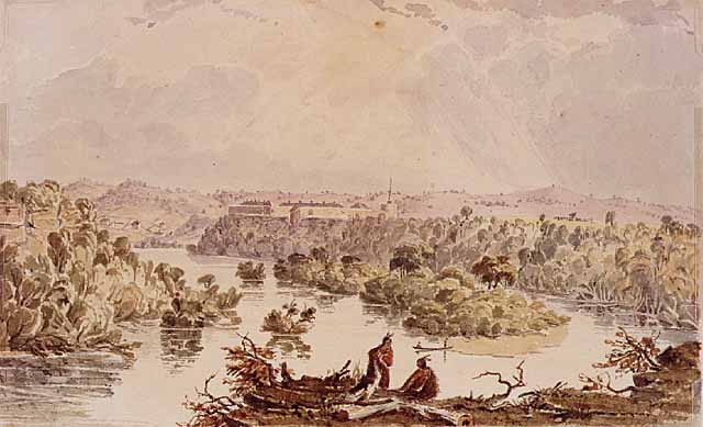
Confluence
(Minnesota and Mississippi Rivers)

Prairie at the Mouth of St. Peters (Minnesota) River
Valley of St. Peters
(Minnesota) River
(Minnesota) River
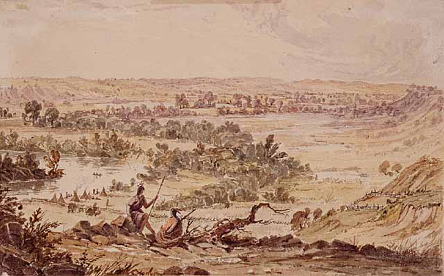

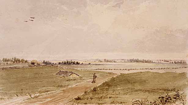
Prairie at Fort Snelling
Fort Snelling Upstream

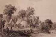
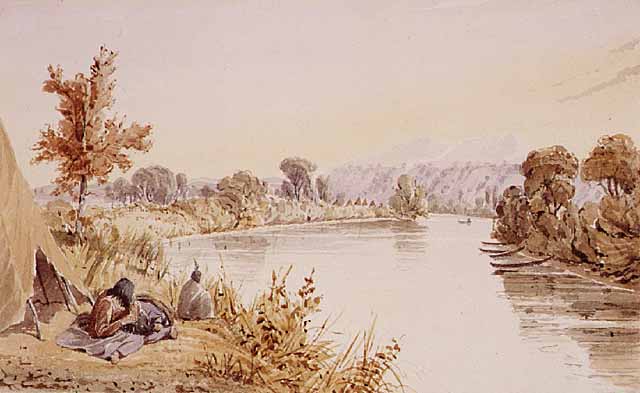
Dakota Encampment

All paintings by Seth Eastman
Images courtesy of the Minnesota Historical Society
Images courtesy of the Minnesota Historical Society
This page was last updated 4/15/03