Blue Earth River Major Watershed
General Description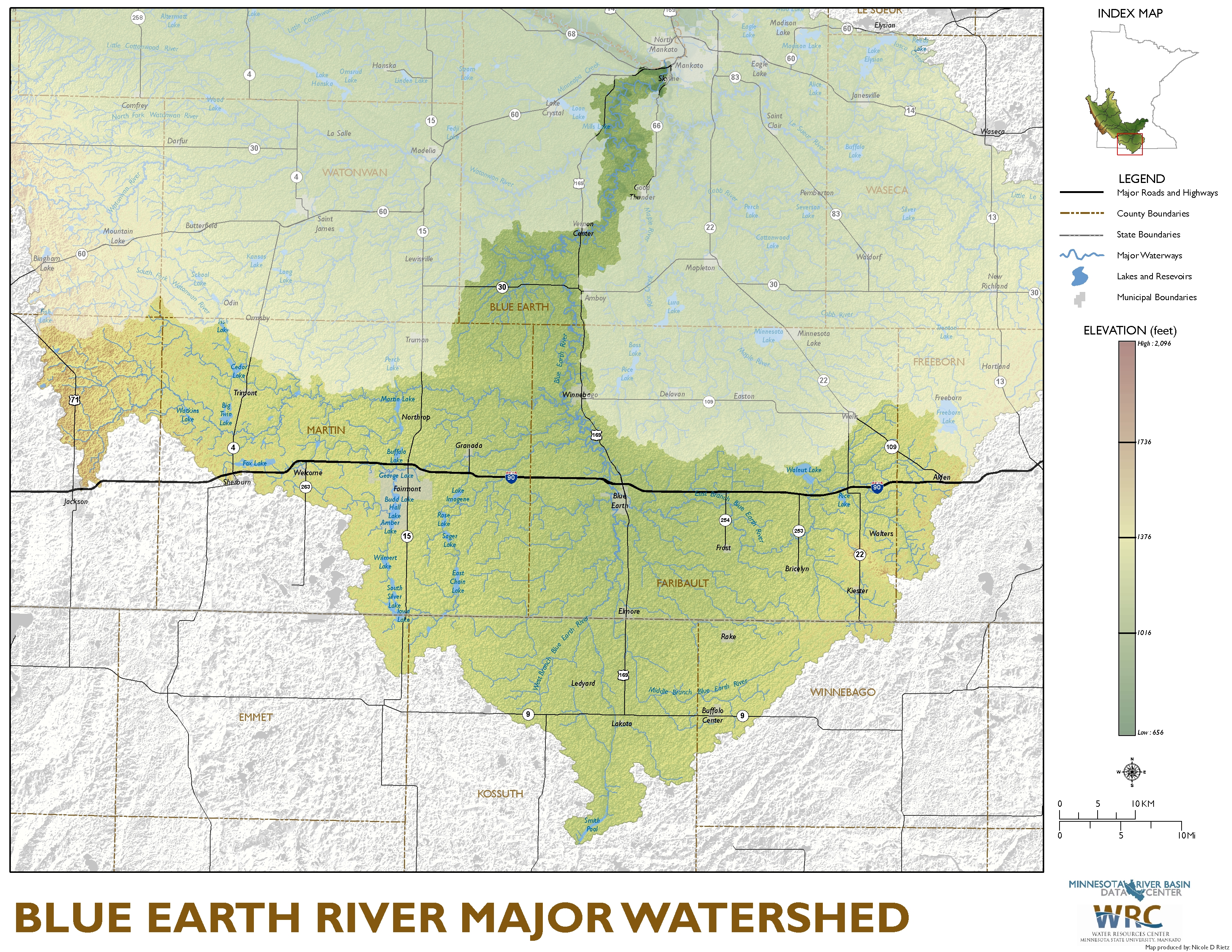
Descriptive Data
Watershed Map
Summary Tables
Counties
Municipalities
Streams
Lakes
Wetlands
Minor Watersheds
Watershed Management
Local Water Planning
SWCDs
Watershed Organizations
Watershed Projects
Nutrient Management Planning
Related Data Resources
Information at Other Web Sites
MPCA Blue Earth Web Site
Maps
Download Blue Earth Watershed Map (pdf)
Download Blue Earth Land Use Map (pdf)
Download Blue Earth Impaired Waters Map (pdf)
Links
Blue Earth River Watershed (MPCA link)